
Laguna Hills ZIP Codes and Coverage
The Laguna Hills ZIP code directory has two local layers documented in the research. ZIP 92653 is the principal street-delivery ZIP associated with Laguna Hills, though addresses near municipal edges still need exact verification. ZIP 92654 is the Laguna Hills PO-box layer. USPS defines delivery geography, while the city and county define government geography.
| ZIP | Areas Covered | Post Office | Notes |
|---|---|---|---|
| 92653 | Laguna Hills street delivery and some postal addresses near municipal edges | USPS Laguna Hills delivery area; verify the station by exact address | Principal street-delivery ZIP; postal city does not prove city limits |
| 92654 | Laguna Hills PO boxes | Laguna Hills postal facility | PO-box ZIP; not a residential street geography |
No official evidence of a Laguna Hills ZIP split, realignment, or street-renumbering year was located. Nearby 92637 Laguna Woods, 92691 and 92692 Mission Viejo, 92630 Lake Forest, 92656 Aliso Viejo, and 92677 Laguna Niguel should not be folded into Laguna Hills merely because the communities touch.
ZIP 92653 and Laguna Hills Limits
ZIP 92653 is a delivery area. It can extend near a municipal edge, and a postal address can carry Laguna Hills as its city label even when the parcel’s government jurisdiction needs a separate check. The USPS ZIP Code Lookup answers the delivery question. The OC Survey and GIS layer answers the parcel and jurisdiction question.
This distinction matters for a ZIP code directory because each custodian uses a different address key. USPS uses delivery address and city-state input. The assessor uses situs and APN. The recorder uses party names, document identifiers, and legal descriptions. The voter tool shows a self-authenticated mailing ZIP but does not provide a ZIP-wide name search. A ZIP label cannot replace the key required by the underlying record.
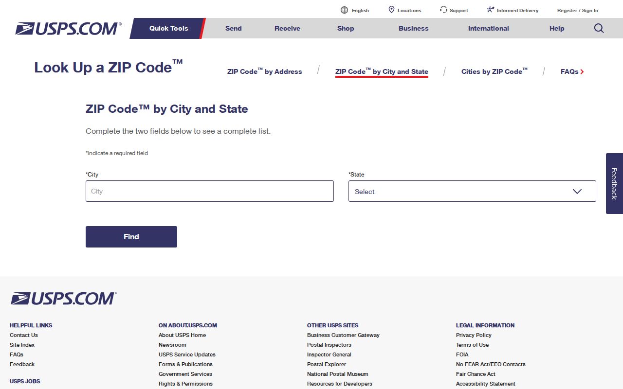
The USPS city and state ZIP form is the official first check for a Laguna Hills delivery address.
Laguna Hills ZIP 92654
ZIP 92654 is the PO-box layer identified for Laguna Hills. It should not be treated as a set of residential streets or as a way to enumerate people. A PO-box address may be a mailing destination for a person, business, organization, or record request, while the physical parcel sits elsewhere. The ZIP code directory therefore needs a separate row and a different interpretation.
When a document carries 92654, keep the mailing address separate from a situs address. Follow a property question through APN and GIS. Follow a deed through RecorderWorks. Follow a city project through its project address and planning file. For a person, use the name and record role rather than inferring a home from the PO box.
The distinction also protects historical work. An old directory or census schedule may use El Toro, county territory, or another postal place. A modern PO-box ZIP cannot relocate a historical household.
Verify a Laguna Hills ZIP With USPS
USPS accepts an exact street address or a city and state search. Use the address route when the goal is a delivery ZIP. Use the city-state route to review possible postal matches, then confirm the exact line before placing the ZIP in a record note. USPS is the carrier authority, not the city boundary authority.
| Street address | Enter the normalized delivery address, including number, direction, street type, and unit when present. |
|---|---|
| City | Use the postal city supplied by the address or the city-state search route. |
| State | Select California before comparing the returned ZIP with a county parcel. |
| Search mode | Address verification and city-state ZIP lookup answer delivery questions, not resident-list questions. |
Save the result date and exact input. A ZIP code can change or a portal can alter its response. If the municipal question remains, compare the address with the OC Public Works GIS resources and the city street map or zoning map.
Finding Laguna Hills Residents ZIP by ZIP
A ZIP code directory search is useful only when a record source actually accepts the ZIP as a filter. The local research found no official public ZIP-wide resident or parcel export. Use the ZIP to verify and narrow a known address, then move to the source’s real search key.
- Confirm the exact delivery ZIP with USPS, recording whether the address is street delivery or a PO box.
- Test the parcel in the county GIS jurisdiction layer and save the APN, situs, tract, and lot.
- Use the assessor gateway or public counter for the parcel record; do not assume the gateway offers a name or ZIP-wide owner roll.
- For voter information, use the authenticated self-lookup or the regulated county file process only when the stated purpose qualifies.
- Once the ZIP narrows the geography, switch to the Laguna Hills by-street record chain for parcel-by-parcel work.
That workflow keeps postal geography from becoming a false people list. The ZIP is a locator and filter clue, not a complete residents directory.
Which Laguna Hills Records Accept a ZIP
USPS accepts address or city-state input. The Orange County voter self-lookup can show a mailing ZIP after a voter authenticates, but it is not searchable ZIP-wide. RecorderWorks is centered on names, document types, dates, and instruments. The public assessor gateway documents a property route but does not promise a ZIP-wide result set. City permits and planning files are keyed to project address, APN, tract, lot, or case information.
| Record system | ZIP role | Better key | What to avoid |
|---|---|---|---|
| USPS | Primary delivery answer | Exact street address or city and state | Using ZIP as city-limit proof |
| Assessor and GIS | Context or mailing field | APN, situs, parcel polygon | Assuming a ZIP-wide owner export exists |
| Voter lookup | Authenticated mailing output | Voter authentication or qualified request | Browsing a block or ZIP by name |
| RecorderWorks | Address may appear in an image or legal document | Party name, date, instrument, book, page | Expecting an address search to reveal all owners |
| City permits | Part of an address record | Project address, APN, permit, case | Treating a permit as an occupant roll |
Note: The documented local portals narrow a ZIP search to an address or record key; none supplies a verified public Laguna Hills resident export by ZIP.
Using Laguna Hills GIS Jurisdiction
When a ZIP and a city label disagree, county GIS is the next stop. Search the address or APN, select the parcel polygon, and inspect the jurisdiction, road, tract, zoning, survey, and parcel layers available in the viewer. The research did not capture a complete live control list, and a friendly buffer button was not verified. Manual parcel selection is the safe documented method.
City planning and engineering material can supply a second bridge. A planning application records project address, APN, tract or parcel map, lot, zoning, applicant, owner, and mailing information. An encroachment application asks for street, nearest cross street, house number, APN, tract, lot, property lines, and dimensions. These fields are useful when a postal label is not enough.
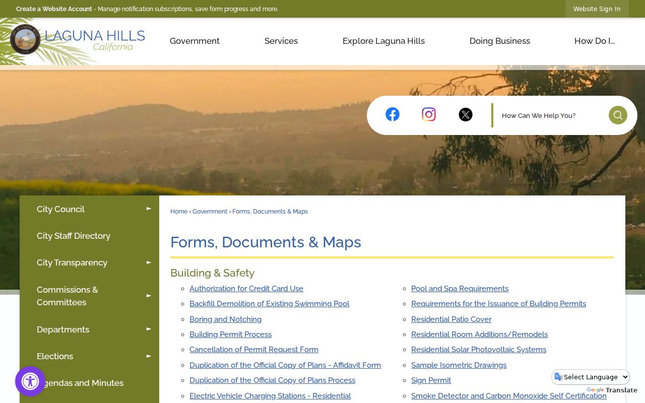
The Laguna Hills forms, documents, and maps page supplies city maps and planning material for resolving address geography.
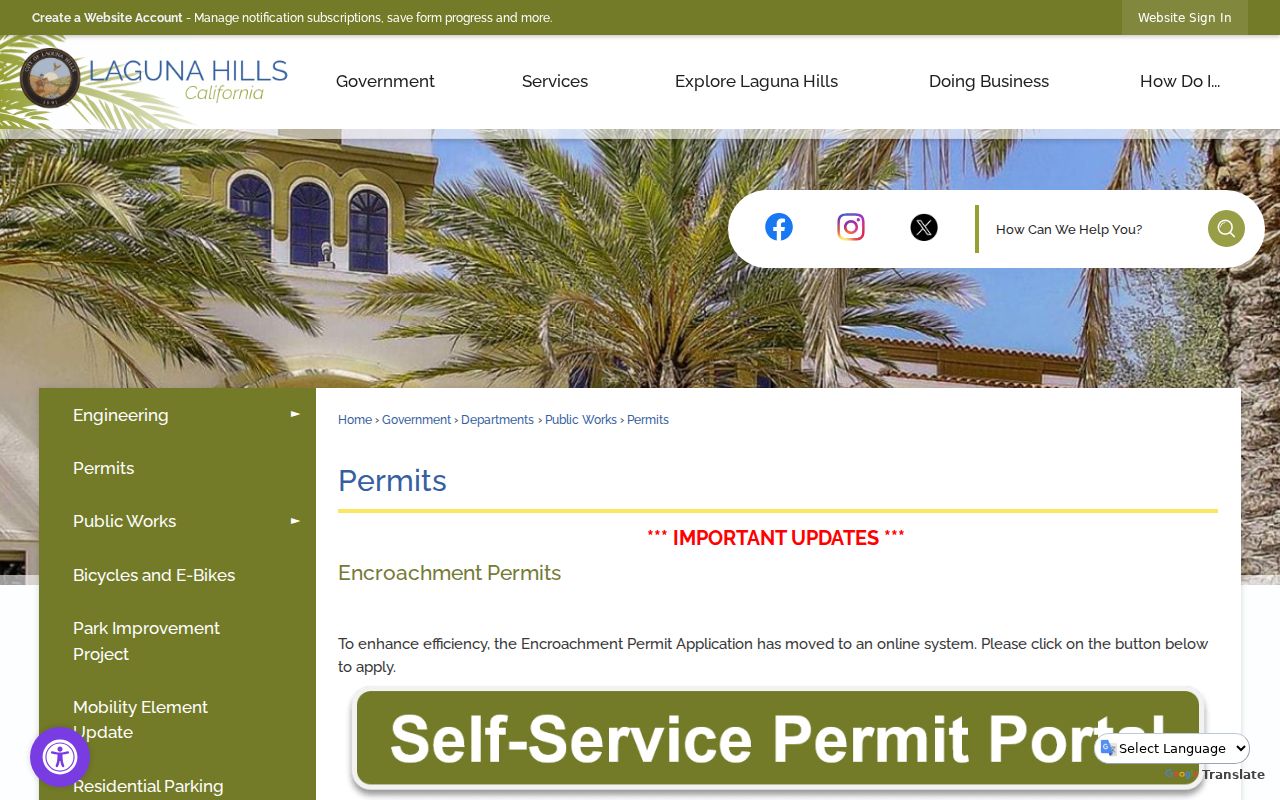
The Laguna Hills engineering and transportation permit guidance can add a project-specific address-to-parcel bridge when a street or boundary is unclear.
The city permit procedure page is an official address and APN reference for engineering records.
ZIP and Laguna Hills City Limits
Postal, municipal, and cadastral geographies overlap but do not answer the same question. A ZIP code is a delivery area. A ZIP+4 adds a finer carrier route segment to a delivery address. A PO-box ZIP points to a postal box layer. A unique ZIP serves one institution or organization when assigned that way. A carrier route is a delivery sequence inside the postal system.
- ZIP code
- A USPS delivery geography used to sort and route mail.
- ZIP+4
- The added four digits that narrow a delivery point or route beyond the five-digit ZIP.
- PO-box ZIP
- A ZIP associated with postal boxes rather than a normal set of residential streets.
- Carrier route
- A postal delivery path inside a ZIP; it is not a city neighborhood boundary.
Boundary check. Use USPS for delivery, county GIS for parcel jurisdiction, and the recorder or assessor key for the underlying record. Never fold neighboring ZIPs into Laguna Hills by proximity alone.
Pre-incorporation records add another layer. A resident from the 1950 census or a 1929 directory may be indexed under El Toro or county territory. A current ZIP code directory cannot rewrite that historical geography. The reliable bridge is exact address, tract, lot, APN, legal description, and source date.
That bridge also helps with city forms. A planning application can carry project address, APN, tract or parcel map, lot, zoning, applicant, owner, and mailing information. An engineering or encroachment request can add the nearest cross street, house number, property lines, and dimensions. Those fields let a researcher test an edge case without treating a postal label as a legal boundary.
When a ZIP search produces a nearby city, keep the result rather than silently changing it. Compare the postal answer with the county jurisdiction layer, then ask the relevant custodian whether the record belongs to Laguna Hills or a neighboring municipality. A transparent mismatch is more useful than a forced match.