
Walking the Laguna Hills Street Directory
A Laguna Hills street directory search starts with one exact address and moves through records keyed to land. Normalize the direction, street type, unit, and postal city before searching. If an address is unclear, keep the original wording and the normalized version together. The goal is to find a stable parcel identifier, not to force every portal to accept the same text.
The practical street walkthrough is:
- Enter the address or APN in the Orange County Assessor gateway, then record the situs, APN, tract, lot, and legal description.
- Open the county GIS or landbase map, select the target polygon, and note each adjacent APN separately.
- Search the current owner in RecorderWorks as grantee near the acquisition date, then read the seller as grantor.
- Check the Laguna Hills permit portal for work, applicant, contractor, owner authorization, and inspection milestones, remembering that older records are on a legacy path.
- Use a voter, court, or historical directory source only for its permitted purpose and only after the address trail gives a second clue.
This sequence gives the search a defensible order: address, parcel, owner, deed chain, project history, then limited corroboration. It also stops a map click from being mistaken for a list of everyone nearby.
Laguna Hills Records Searchable by Street
Different address-keyed sources answer different questions. The assessor is the main owner and parcel source, GIS supplies spatial context, the recorder connects title parties, and city permits show work at a place. The voter file is regulated and cannot be browsed as an open street list. A reverse directory can name a past adult at an address only when the relevant year and volume exist.
| Address Source | What It Shows | Search Mechanics | Main Limit |
|---|---|---|---|
| Assessor parcel record | APN, owner or assessee, situs, mailing address, values, characteristics | Address or APN in gateway or at counter | Owner is not every resident |
| OC GIS and Landbase | Parcel lines, jurisdiction, tract context, roads, map layers | Address or APN, pan, zoom, select | Geometry does not supply identity by itself |
| RecorderWorks | Grantor, grantee, date, document type, instrument number | Name in both roles plus date range | Index only; no public deed image |
| Laguna Hills permits | Scope, applicant, contractor, owner authorization, inspections | Address or permit route; legacy path for older files | Work history, not an occupant roll |
| Voter file | Regulated registration and residence geography | Self-authentication or qualified request | No public address browse |
| Reverse directory | Named adult by address in a covered year | Street, then house number | Verified local years are not published |
Use the source that matches the question. The address trail can establish which parcel and owner record sit along a road, but it cannot supply a universal household roster. For a one-person question, the name-first workflow on the Laguna Hills resident lookup page is a better fit.
Note: A parcel card is a land record, so it should be cited as ownership or assessment evidence rather than current occupancy evidence.
Laguna Hills Address to APN
The Orange County Assessor’s property information and parcel maps gateway directs users to ParcelQuest and public-service counters. The public research path does not promise a county-hosted owner-name roll, so an address or APN is the useful first key. At the counter, assessment information, property characteristics, and maps can be requested at 500 S. Main Street, second floor, in Orange.
Capture the situs street, city, and ZIP separately from the owner mailing address. Then record the APN, tract or lot, legal description, property use, year built if supplied, physical characteristics, land and improvement values, total assessment, tax-rate area, exemptions, and map reference. A situs is where the parcel lies. A mailing address is where tax correspondence goes. Neither says who occupies the building.
| Street address | Text or autocomplete; normalize suffix and direction before retrying. |
|---|---|
| APN | Orange County parcel identifier; carry the exact digits shown by the map or record. |
| Situs | Physical parcel location used to connect a street to land. |
| Mailing address | Tax correspondence destination; it may be a trust, agent, PO box, or another property. |
| Legal description | Tract, lot, and related land language that can survive a street-name or number change. |
The Orange County official-record copy guidance explains what to do after the address search finds a document identifier.
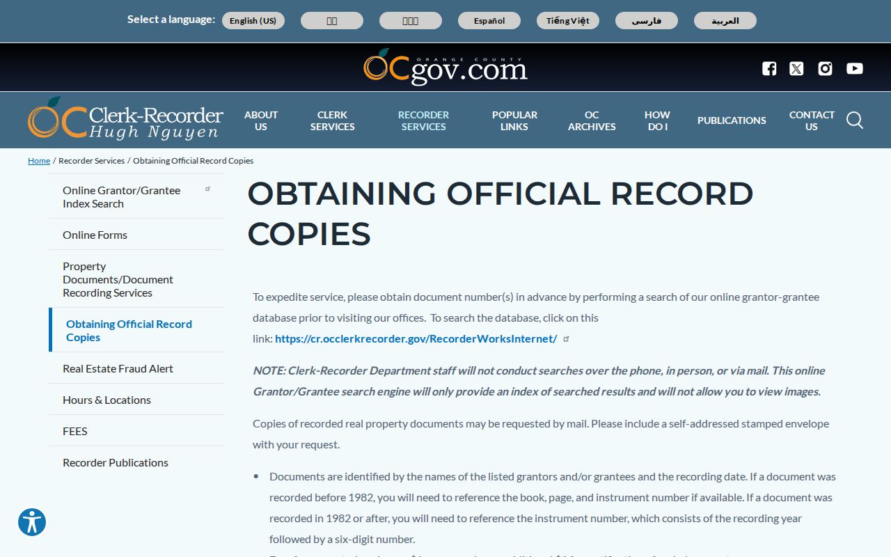
The copy route belongs after the parcel has been identified, so the recorded document can be tied to the correct street and APN.
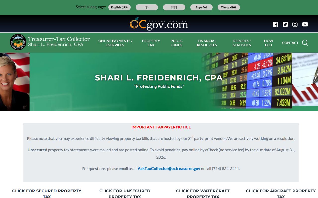
The Orange County secured-property tax search adds a tax-status check after the street directory identifies the parcel.
Laguna Hills Street Parcels in GIS
The OC Public Works Survey and GIS resources form the spatial bridge for a street directory. Pan and zoom to the address, search by address or APN when the viewer allows it, select the parcel, and inspect the surrounding polygons. The county’s official parcel MapServer documents Export Map, Identify, Query, and Find tools, with a maximum record count of 1,000 and selection count of 2,000. Parcel geometry displays at 1:16,000 or closer, and spatial queries or distance functions are supported by the service.
Those technical controls do not make the GIS a people list. The geometry shows where land sits. Open the corresponding assessor record for each APN, and do not assume the map has a confirmed owner attribute. For an immediate block, click the target and then each polygon sharing a side or frontage. There is no verified public buffer button in the research, so manual parcel selection is the documented method.
Use the jurisdiction layer when the postal city is confusing. Laguna Hills sits near Laguna Woods, Mission Viejo, Lake Forest, Aliso Viejo, and Laguna Niguel. An address search that treats every nearby postal address as part of Laguna Hills will mix municipal records.
Situs and Mailing Addresses in Laguna Hills
Address fields look alike but do different work. The situs identifies the land on a Laguna Hills street. The mailing address tells the tax office where correspondence goes. A trust, PO box, agent, management address, or second property can create a mismatch. An owner-occupied signal, if present, may support a property timeline, but it is not a dated list of all residents. Do not convert a mailing destination into a claim about a household.
Street names also have a time dimension. A modern Laguna Hills road may not have existed during the Moulton Ranch era. A pre-1991 file may use El Toro or unincorporated Orange County. If a present street search finds no old entry, bridge the gap with tract map, lot, APN, legal description, subdivision map, and historical assessor material. The legal description is often the strongest continuity key.
- Parcel
- A mapped land unit identified by an APN and legal description.
- Situs address
- The physical location of the parcel, used for mapping and property context.
- Plat
- A recorded subdivision map showing lots, blocks, streets, and related land geometry.
- Criss-cross directory
- A street-order historical directory used to connect a house number with a named adult in a covered year.
Follow Laguna Hills Street Ownership Through RecorderWorks
The RecorderWorks Grantor-Grantee Index is name-indexed, so an address alone may not find an older deed. Search the current owner as grantee around the acquisition date, then search the seller as grantor and grantee. Record the indexed party role, recording date, document type, and instrument number. Search spelling and middle-initial variants. The index reaches January 4, 1982 to the present; earlier material requires book, page, or instrument research through recorder or archive indexes.
Orange County’s copy guidance says staff do not run a researcher’s search. Once the instrument number is known, request the document by mail or counter. The copy can reveal the legal description, return address, signatures, vesting, and recording stamp. A title party may be an individual, trust, or entity, and a deed event can be a quitclaim, release, or other transfer rather than a purchase.
The RecorderWorks search interface shows the free index route before a copy request.
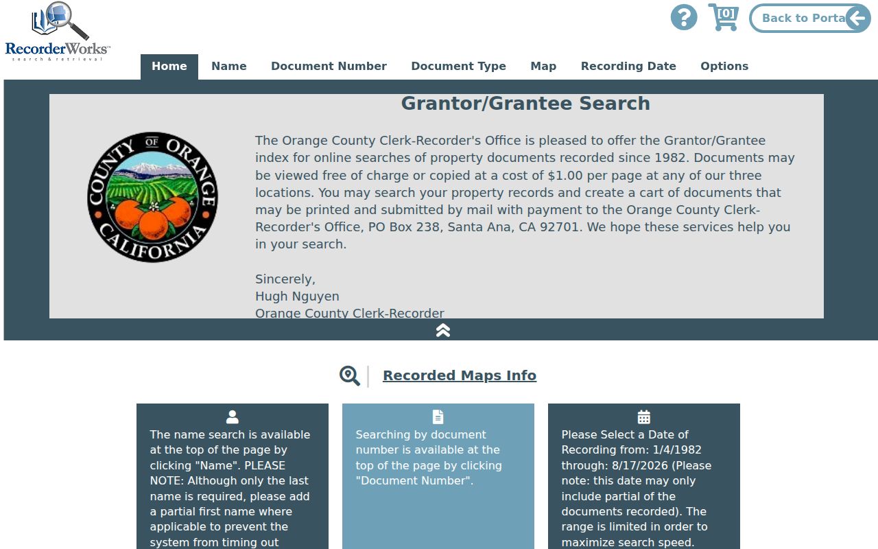
Note: Search each title party in both roles because a seller in one deed may be a buyer in an earlier instrument.
Laguna Hills Street Permits Before 2023
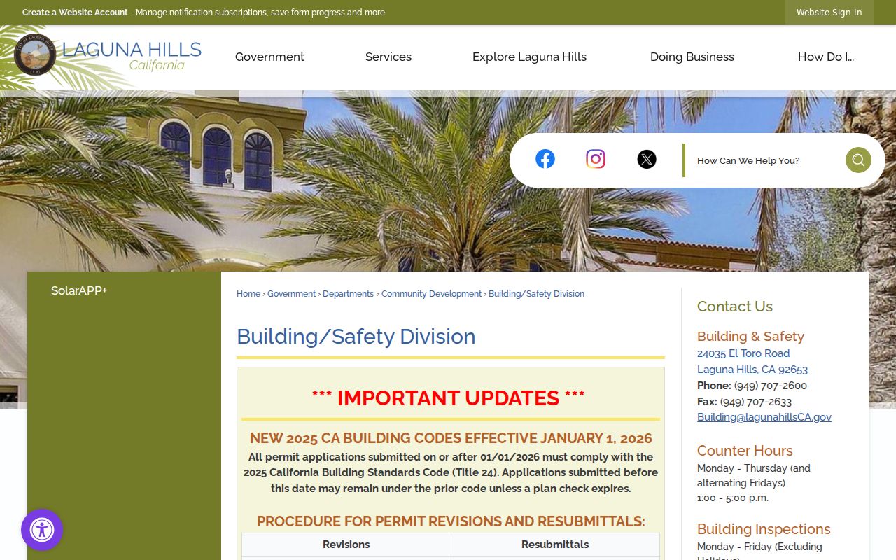
Laguna Hills Building and Safety is an important address-keyed source because permits can show construction scope, applicants, contractors, owner authorization, inspection milestones, valuation, and changes to a parcel. The city’s building and permit gateway is described as a 100% online system for applications, inspection requests, payments, and record lookups. It separates permits issued before January 3, 2023 as legacy records.
A legacy gap does not mean that work never occurred. Follow the older path or ask city staff for the relevant file. Engineering records can add a house number, nearest cross street, APN, tract, lot, property lines, dimensions, and right-of-way work. Planning applications can connect an address to APN, zoning, applicant, property owner, and project notices. Permit records identify project participants, not every person using the structure.
The Laguna Hills Building and Safety portal is the city’s address-keyed route for current permit and inspection activity.
Laguna Hills Street Directory: Tract and Lot
House numbers and postal labels are convenient, but tract and lot details are better for a backward street directory. Laguna Hills’ municipal name postdates much of the property trail. Rancho Niguel, Moulton Ranch, El Toro, unincorporated county territory, and later master-planned tracts can all appear in the record chain. The city’s 1991 incorporation, the North Laguna Hills annexation effective July 1, 1996, and the Westside annexation in 2000 are boundary clues, not reasons to discard an earlier county record.
When a street name or number fails, compare the APN and legal description with subdivision maps and city planning material. The county tax system is chiefly APN-keyed. The recorder can use book, page, and instrument details. The GIS jurisdiction layer can show whether the parcel is inside the city line today. The USPS label answers delivery geography, not municipal jurisdiction.
This is why a street directory search should save the original address text, the normalized address, APN, tract, lot, and source date. Those five fields let a later researcher test a historical name without relying on a modern label alone.
Read Laguna Hills Reverse Directories
Historical reverse or criss-cross directories would be the natural street directory for a past address, but the research did not verify a Laguna Hills-specific year run. The National Archives does verify 1926 and 1929 Orange County directories that include El Toro. Orange County Archives lists county directories and newspapers, while a UCI finding aid identifies an Orange County directory series dated 1950-1990. Neither source proves that every year includes every Laguna Hills street.
Ask the Laguna Hills Library, OC Public Libraries catalog staff, California State Library, UCI Special Collections, or Orange County Archives to test an address in the relevant volume. Search El Toro, Orange County, Mission Viejo, and nearby communities. A directory entry may include a named adult, spouse, occupation, residence, telephone, and owner mark, but it never promises a complete household.
The historical collection workflow is distinct from modern parcel browsing. For the volumes themselves, use the Laguna Hills city directories collection guide; for a current street chain, stay with APN, GIS, assessor, permits, and RecorderWorks.
What a Laguna Hills Street Directory Misses
A street directory can show a parcel owner, a tax mailing destination, a deed party, a permit participant, or a historical named adult. It cannot show every occupant. Ordinary public systems do not expose utility customers, unlisted household members, children, protected Safe at Home participants, confidential voters, or DMV addresses. A trust or entity may also make the person behind ownership less visible.
Voter information is not a shortcut around those limits. Orange County’s authenticated lookup checks the voter who signs in. A countywide voter file requires a qualifying purpose and carries restrictions under Elections Code section 2194 and Government Code section 7924.000. The regulated voter-data request page explains the application, identification, payment, and use conditions.
Lawful use. Use a Laguna Hills street directory for personal research, genealogy, civic curiosity, and a documented property question. Never turn an address trail into stalking, harassment, intimidation, surveillance, or harm.
When a record is wrong, contact the custodian rather than attempting to publish a correction yourself. When a record is missing, request an existing file with a date, department, address, APN, tract, lot, or document number. A clear limit is part of an accurate street directory result.